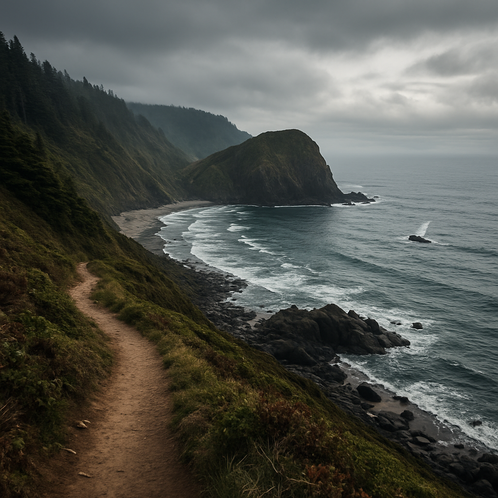
Viewpoints 5–20 minutes away
Storm Watching on the Oregon Coast
The coast is arguably better in winter. Here is how to pick a storm, where to watch it from, and the handful of safety rules that keep storm watching a spectator sport.
Updated November 9, 2026
Is there a storm right now?
We keep a live dashboard for this stretch of coast at saltyviewseclusion.com/stormwatch — current swell height and period, wind, pressure trend and the tide, scored out of 100. It is the quickest way to tell a good day from a grey one.
Summer on the Oregon Coast is pleasant. Winter is spectacular. From November through March the Pacific throws genuine weather at this coastline — swells built by storms a thousand miles out, arriving as waves big enough that you feel them through the ground. Watching it happen, from somewhere warm and dry, is one of the real pleasures of the off season.
It is also when people get hurt, almost always for the same small set of reasons. Both halves of this guide matter.
Conditions right now
Our Storm Watch page carries live swell, wind, pressure and tide readings from the weather station at the house, scored out of 100 for storm watching, with a six-day outlook. Worth a look before you commit to a drive.
When storm season runs
The season is roughly November through March, with the heart of it from late November into February. December and January bring the most reliable weather, the lowest crowds and the lowest rates — the coast in winter is a genuinely different and much emptier place.
It is worth knowing that this window is also the dangerous one. National Weather Service records show that every major sneaker wave incident in Oregon since 1990 has occurred between October and April, with the peaks in November and March. The best storm watching and the highest risk are the same months, which is exactly why the safety habits below are worth forming.
How to pick a good storm day
Not every grey windy day produces good waves, and the biggest waves do not always arrive with the worst local weather. Three things to look at:
- Swell height and period, not wind. A long-period swell — 14 seconds or more — carries far more energy and produces the big, slow, concussive waves worth watching. A short, choppy 6-second swell just makes the sea look messy.
- The tide. A big swell arriving on a high tide reaches much further up the beach and hits the rocks harder. Pair a large swell with a high tide and you get the dramatic version.
- The gap after the front. Often the best viewing is a few hours behind a storm, once the wind eases but the swell is still running. You get the waves without being sandblasted.
The best combination of all
A large long-period swell landing on one of the winter king tides. The water is already at its annual high and the swell is riding on top of it. Those are the days that make the news — and the days to watch from high ground only.
Where to watch near Neskowin and Pacific City
- Cape Kiwanda, Pacific City — elevation and a direct line into the weather. Stay well behind the fencing; the sandstone is undercut and the edge is not where it looks.
- Neskowin Beach — the beach narrows hard in a winter swell, and Proposal Rock takes the waves head-on. Watch from the high beach or the parking area, not from beside the rock.
- The Three Capes Scenic Loop — a string of pull-outs and headlands with big views. The easiest option when the weather is bad enough that you would rather watch from the car.
- Nestucca Bay — no surf exposure at all, which makes it the sensible choice on the worst days. You still see the water pile up and the weather come through.
The safety rules that actually matter
Sneaker waves have killed more than twenty people on the Oregon Coast since 2000. Nearly every one of those deaths involved somebody being caught off guard — not somebody taking an obvious risk. The rules are simple and they are not optional.
Never turn your back on the ocean
A sneaker wave runs dramatically further up the beach than the dozen waves before it, with no warning and no visible build-up. Before you settle anywhere, watch the water for several minutes and note the furthest point the waves are reaching — then stay well above it.
- Stay off jetties, rocks and anything the water is washing over. Wet rock is where the fatalities happen.
- Keep clear of large driftwood near the waterline. A log that takes four people to move is lifted and rolled by a foot of water, and it does not stop for whatever is behind it.
- Do not try to outrun a wave on a beach. Move perpendicular, toward higher ground, and do it early.
- Watch children and dogs constantly, and keep both well back from the surf line in winter.
- Check the forecast for a high surf advisory. If one is in effect, watch from a headland or from the car, not from the sand.
What to bring
- A proper waterproof shell with a hood. Umbrellas are useless in coastal wind.
- Waterproof boots, and dry socks waiting in the car.
- Gloves and a hat — the wind chill on an exposed headland is the thing that ends most outings early.
- A thermos of something hot, and a towel for the dog and the camera.
The other half of storm watching
Half the appeal is going back inside. The pattern that makes a winter coast trip work is a couple of hours out in the weather, then somewhere warm with a view of it — dry clothes, something hot, and the storm carrying on outside without you in it. A hot tub in the rain, with the weather coming through the trees, is a very specific pleasure and it is the main reason people book the coast in January.
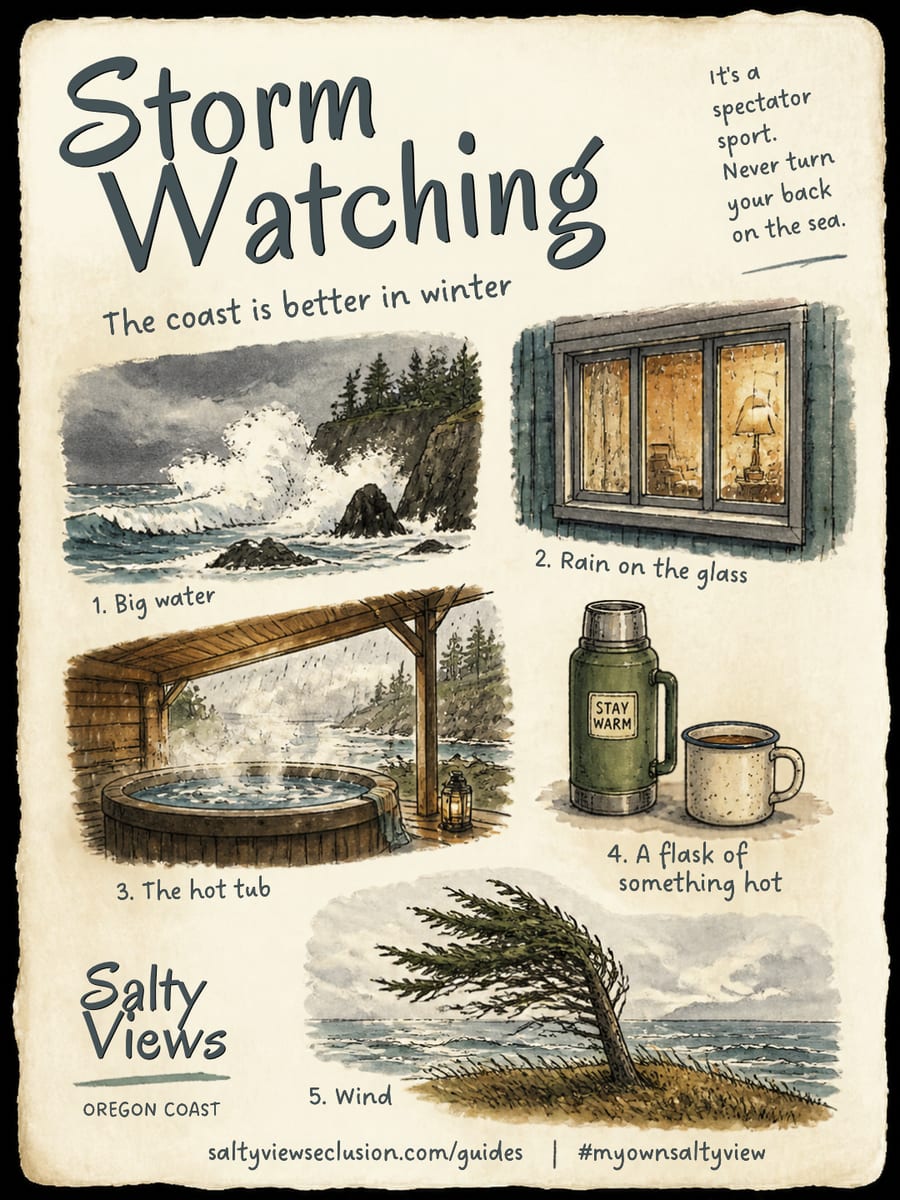
Save it, screenshot it, take it with you. If you find one of these, tag it #myownsaltyview and we will see it.
@saltyviewseclusionCommon questions
When is storm watching season on the Oregon Coast?
Roughly November through March, with the most reliable conditions from late November into February. These are also the quietest and least expensive months on the coast.
What makes a good storm watching day?
Look for a long-period swell — 14 seconds or more — rather than just strong wind, since long-period swell carries far more energy. A big swell arriving on a high tide produces the most dramatic conditions. Often the best viewing is a few hours after a front passes, when the wind has eased but the swell is still running.
Is storm watching on the Oregon Coast dangerous?
It is safe from the right place and genuinely dangerous from the wrong one. Sneaker waves have killed more than twenty people on the Oregon Coast since 2000, nearly all of them caught off guard. Watch from elevated ground, never turn your back on the water, stay off wet rocks and jetties, and keep clear of driftwood near the waterline.
Where can you watch storms near Neskowin?
Cape Kiwanda at Pacific City gives you safe elevation and a direct view into the weather. Neskowin Beach is dramatic in a winter swell when watched from the high beach. The Three Capes Scenic Loop has pull-outs you can watch from without leaving the car, and Nestucca Bay has no surf exposure at all for the roughest days.