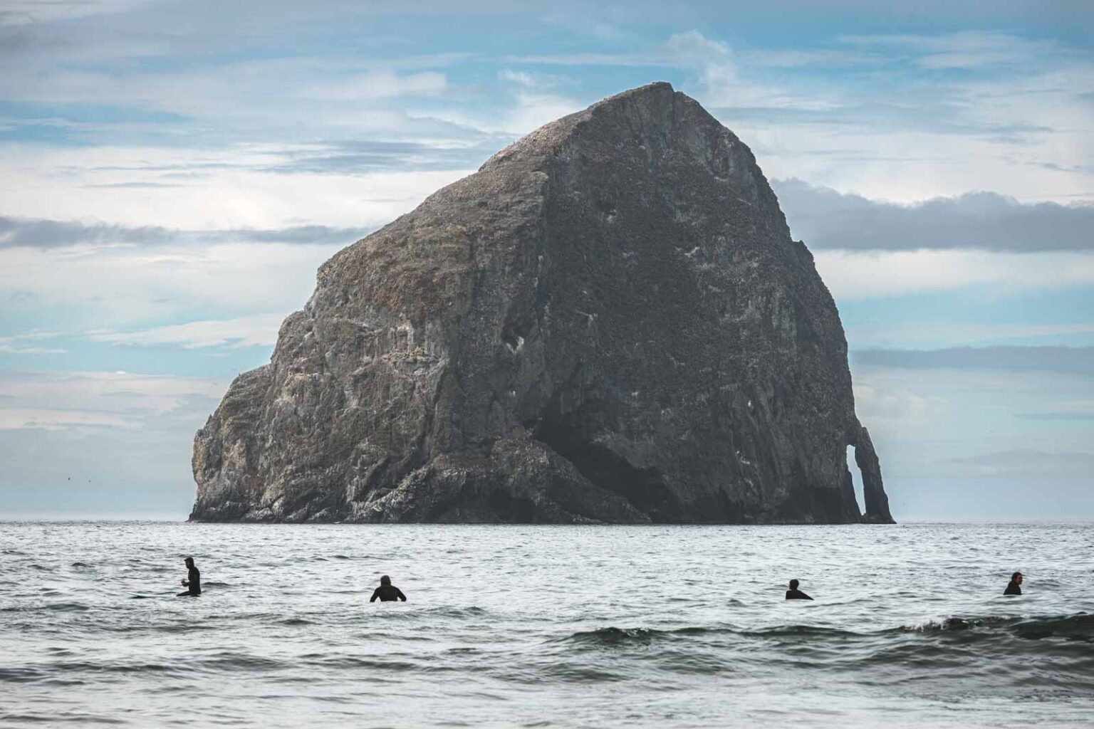
Depoe Bay 45 min south to Tillamook 35 min north
The Central Oregon Coast Scavenger Hunt
Twenty stops up and down this coast, every one of them drivable, each leg mapped and numbered in the order you should drive it. Tick them off as you go. It is for the days when there is too much to choose from and nobody can decide — which, on a holiday, is most of them.
Updated November 10, 2026
Most people arrive here with a vague intention to "see the coast" and then spend the first morning of a three-day trip reading reviews on a phone. This is the cure. Twenty things to find between Depoe Bay and Tillamook, roughly eighty minutes of coast end to end, with the house sitting almost exactly in the middle.
Every single stop can be done from the car park. If a stop has a walk, a climb or a tide attached, that part is marked extra credit and you can skip it without guilt. Nobody is checking. Well — we are, a bit, if you tag the photos.
How to play
Do it in legs rather than all at once. North through the Three Capes to Tillamook is one afternoon; south to Lincoln City and Depoe Bay is another. Each leg has a sketch map and the stops are numbered in the order you should drive them, so you can settle the argument about where to go next before it starts — hover or tap a stop to see where it is, and every one has a link that opens it in your maps app. Tick things off as you go and the list remembers where you got to, on this device. Photograph the good ones and tag #myownsaltyview — we would genuinely like to see which ones you found.
20 to find
NorthThrough the Three Capes to Tillamook
About 5 hr 15 min
This is the Three Capes Loop, and it only really works in one direction. North out of Pacific City on the Three Capes Scenic Route, round Cape Lookout, then Netarts, Oceanside and Cape Meares, then inland to Tillamook. Come home down Highway 101 — which puts the air museum and Munson Creek Falls on the way back, rather than making you drive out to them and return.
About 1 hr 16 min driving between them, plus roughly 4 hr 5 min at the 10 stops themselves. Then allow another 38 min to get home from the last one.
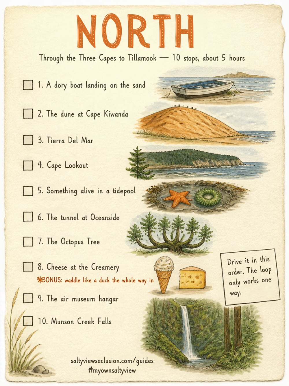 Check-off sheet for this legOpen it and screenshot it — then you have the list in the car with no signal needed.
Roads and coastline © OpenStreetMap contributors
- Open Cape Kiwanda State Natural Area, Pacific City, OR in Maps
- Open Cape Kiwanda State Natural Area, Pacific City, OR in Maps
- Open Tierra Del Mar Beach, OR in Maps
- Open Cape Lookout State Park, OR in Maps
- Open Netarts Bay, OR in Maps
- Open Oceanside Beach State Recreation Site, OR in Maps
- Open Octopus Tree, Cape Meares, OR in Maps
- Open Tillamook Creamery, OR in Maps
- Open Tillamook Air Museum, OR in Maps
- Open Munson Creek Falls State Natural Site, OR in Maps
Close to homeWithin fifteen minutes of the door
About 1 hr 45 min
Two of these three need no driving at all. Cannery Hill is the only one that does, and it is ten minutes north on 101 — so if you would rather not make a separate trip for it, tack it onto the start of the northern leg instead. It is on the way.
About 8 min driving between them, plus roughly 1 hr 40 min at the 3 stops themselves. Then allow another 7 min to get home from the last one.
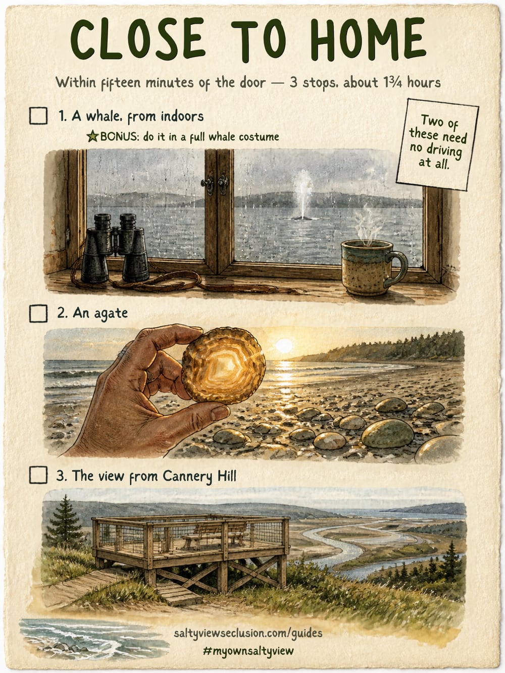 Check-off sheet for this legOpen it and screenshot it — then you have the list in the car with no signal needed.
Roads and coastline © OpenStreetMap contributors
SouthTowards Lincoln City and Depoe Bay
About 3 hr 15 min
Straight down Highway 101 and back, and the order matters: Neskowin first, then Knight Park for Cascade Head, then Lincoln City, then Depoe Bay at the far end — and turn round there. Everything is on the same road, so taken in this order nothing needs doubling back.
About 51 min driving between them, plus roughly 2 hr 25 min at the 7 stops themselves. Then allow another 40 min to get home from the last one.
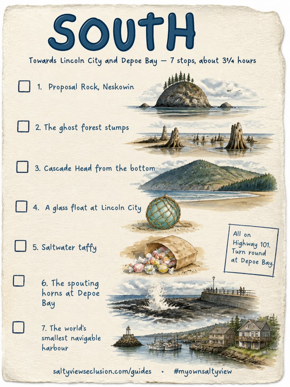 Check-off sheet for this legOpen it and screenshot it — then you have the list in the car with no signal needed.
Roads and coastline © OpenStreetMap contributors
It didn't happen if you don't prove it.
Twenty stops, and not one way for us to check up on a single one of them. We are running this entirely on the honour system, which is a polite way of saying we assume you are lying. Settle it with photographic evidence.
#myownsaltyview
@saltyviewseclusionIf you only have one day
Go north. Pacific City for the dory beach and the dune, Tierra Del Mar for the empty one, Cape Lookout for the view, Oceanside for the tunnel, Cape Meares for the Octopus Tree, and finish at the Creamery with ice cream. That is seven stops and an easy day, and it is the stretch of coast people remember.
If the weather has collapsed entirely, go south instead. The spouting horns at Depoe Bay are better in a storm than in sunshine, glass floats turn up after a big tide, and taffy does not care what the sky is doing.
Two rules that matter more than the list
Never turn your back on the sea, and never go past a fence on a headland. Sneaker waves arrive with no larger wave ahead of them, logs in the surf weigh tons, and the sandstone on these capes is undercut and crumbles without warning. Every stop here is worth seeing from the legal side.
About the maps
They are sketches, not navigation. The dots sit at the real coordinates so the order and the rough spacing are right, but there are no roads on them — use the link on each stop to open it properly in your maps app, and do that before you set off rather than at the bottom of Christensen Road with no signal.
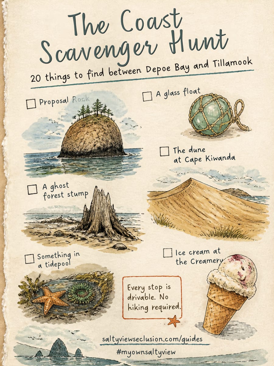
Save it, screenshot it, take it with you. If you find one of these, tag it #myownsaltyview and we will see it.
@saltyviewseclusionCommon questions
How long does the Oregon coast scavenger hunt take?
It splits naturally into two afternoons. North through the Three Capes to Tillamook is one; south to Lincoln City and Depoe Bay is the other. Doing all twenty at a relaxed pace takes two or three days, which is about the length of most stays.
What order should you do the stops in?
The order they are numbered in. Each leg is arranged as an actual drive: the northern leg follows the Three Capes Scenic Route up to Cape Meares, turns inland to Tillamook, then comes home down 101 so the air museum and Munson Creek Falls fall on the way rather than needing a separate trip; the southern leg runs down Highway 101 from Neskowin through Lincoln City to Depoe Bay and back. The legs are laid out north first, because north is up. Each has a map with the stops numbered on it.
Do you need to hike for any of it?
No. Every one of the twenty stops can be reached and completed by car, and several are visible from the car park. Anything involving a walk, a climb or a tide is marked as extra credit and is entirely optional.
Is it suitable for children?
Yes, though it is written for adults — very few children stay at the house. The finding-things structure works for kids, and glass floats, the dune, tidepools, the tunnel and the Creamery are all strong with them. The pacing assumes grown-ups are driving.
What is the furthest stop from the house?
Depoe Bay is about forty-five minutes south and Tillamook about thirty-five minutes north, so the whole hunt covers roughly eighty minutes of coast with the house near the middle. Nothing is more than a comfortable drive.
Can you do the hunt in winter?
Most of it, and some stops are better for it. The ghost forest only appears after winter storms strip the beach, agates need the same conditions, the spouting horns want a big swell, Munson Creek Falls runs hardest between late autumn and spring, and the whales pass between December and January. Tidepooling is the one that suffers, because the good low tides fall at night.